- 01
VHR Satellite 30 cm
The data foundation for the entire pipeline.
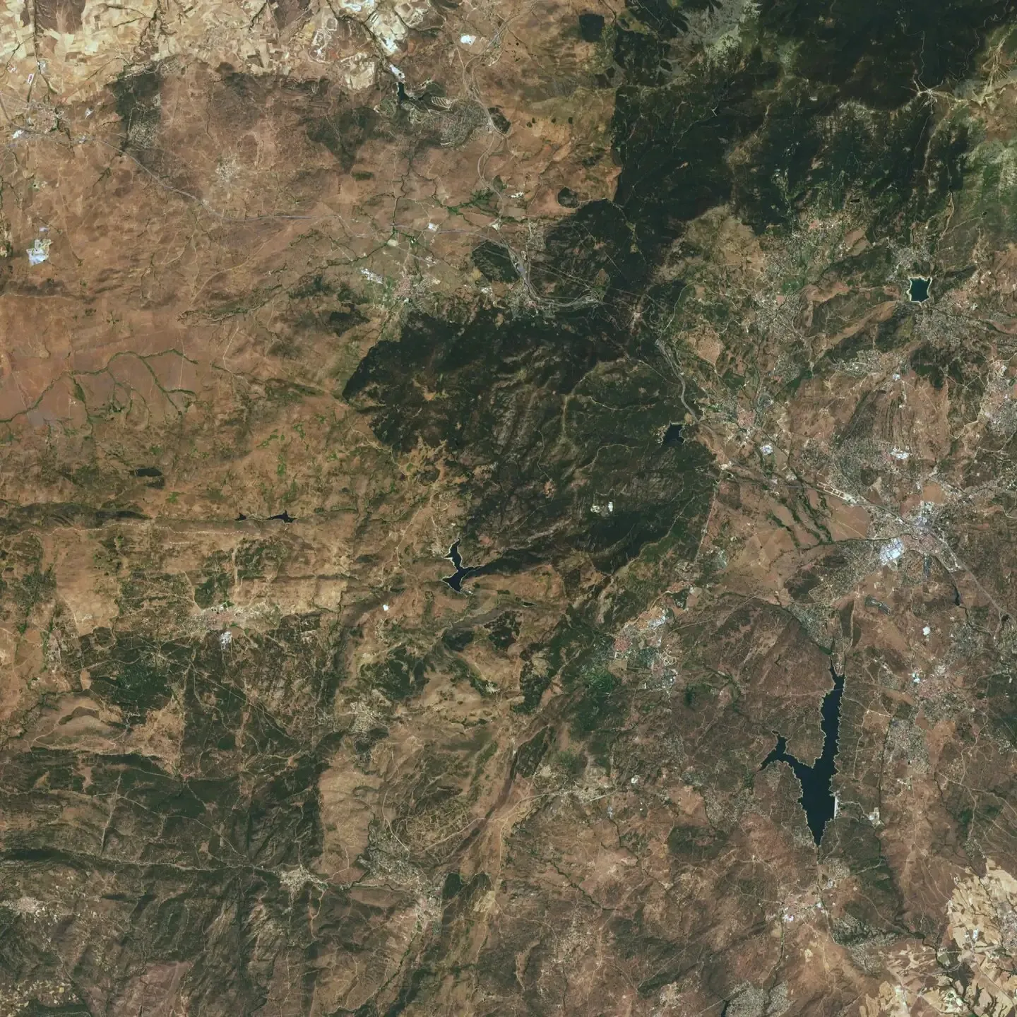
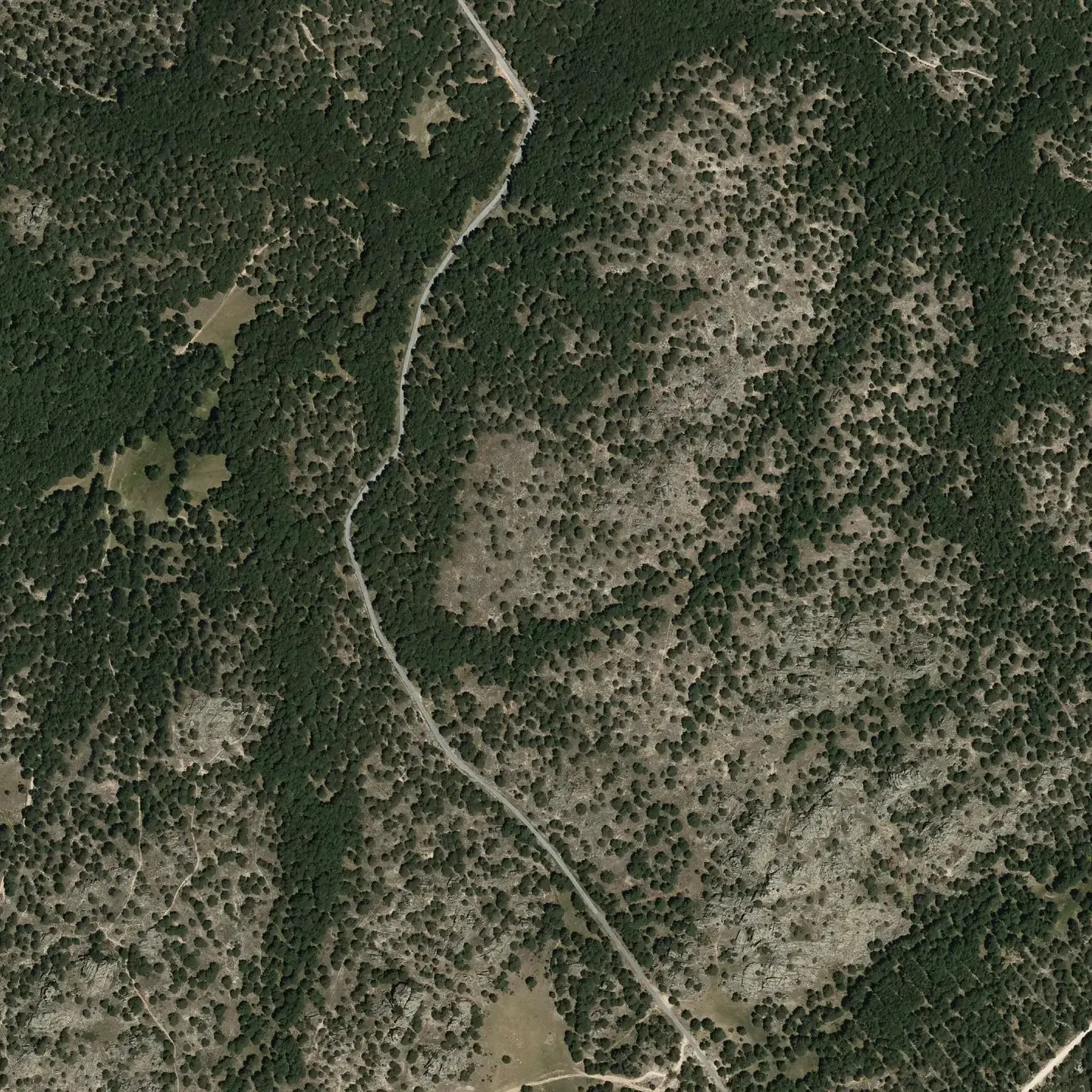
We capture Very High Resolution (VHR) multispectral imagery sharp enough to distinguish individual trees, down to 30 cm per pixel. This is paired with Sentinel satellites, which revisit each site frequently for rapid change detection, and LiDAR, a laser-based technology that measures tree height and forest structure.
- 02
Sentinel Satellites
Scalable, cost-effective monitoring.
Sentinel multispectral and radar data support recurring observations across large areas. We use these datasets to analyse historical land cover, detect forest disturbances, and monitor vegetation changes over time. Where individual-tree detail is not required, Sentinel provides a lower-cost foundation for monitoring, with more detailed observations added according to the project’s needs.
- 03
LiDAR & 3D Observations
Measuring forest structure.
LiDAR provides measurements of canopy height and vertical forest structure, complementing the information captured in satellite imagery. Combined with available satellite-derived height estimates and field observations, these data help characterise forests and improve the inputs used for biomass and carbon estimation.
- 04
Hyperspectral Data
Revealing methane and land characteristics.
Hyperspectral observations capture information across many narrow spectral bands, allowing us to analyse features that conventional imagery cannot resolve as clearly. In our methane pipeline, these data are used to measure methane concentrations. For agricultural applications, hyperspectral observations contribute information on soil and vegetation characteristics to our soil carbon modelling.
- 05
SAR
A complementary view of land conditions.
Synthetic Aperture Radar (SAR) provides observations through cloud cover and independently of daylight. Its sensitivity to moisture and surface and vegetation structure adds information to optical imagery. We use radar observations alongside other datasets to support land monitoring and the development of models for agricultural soils.
- 06
Proprietary AI
The intelligence layer that powers every product.
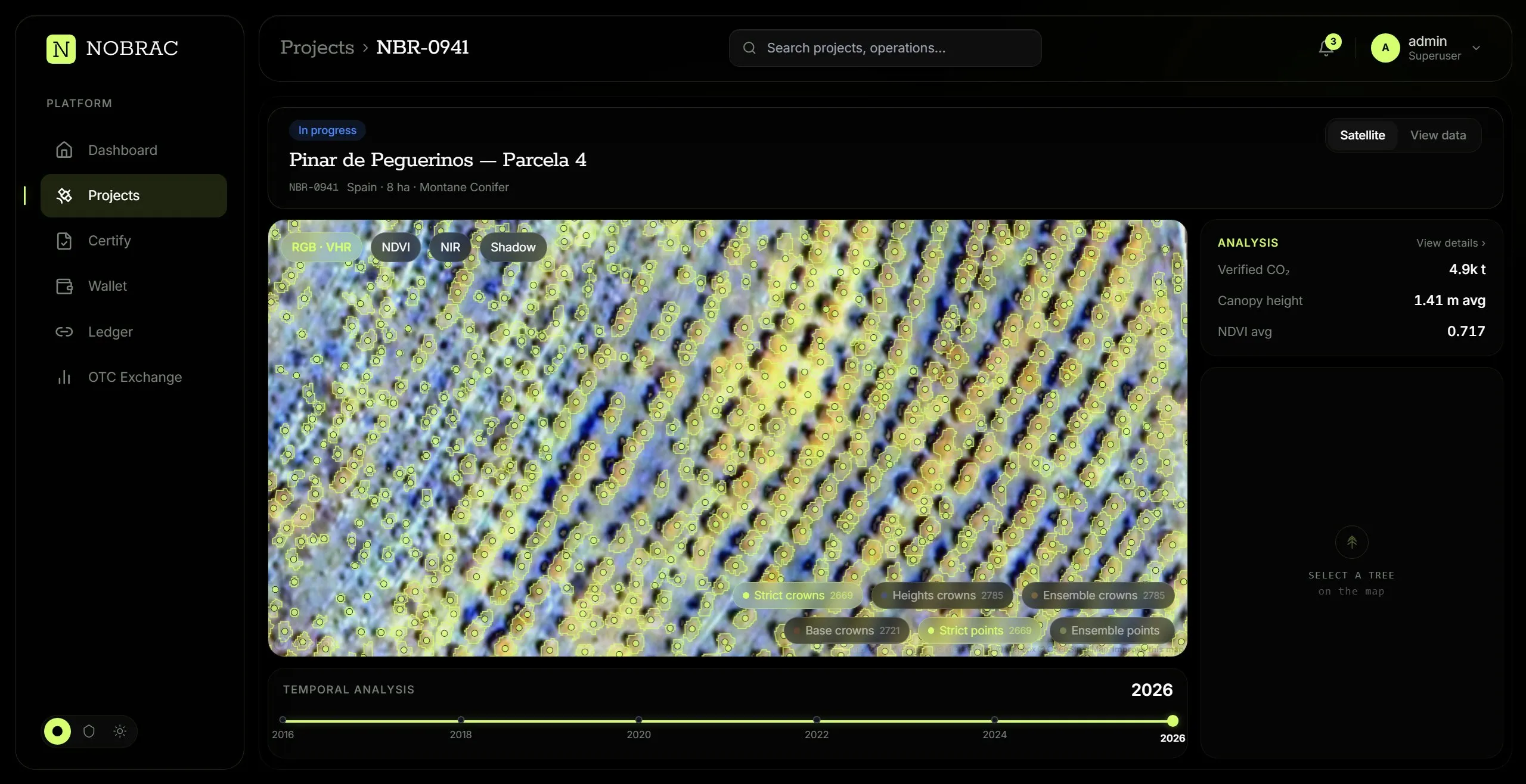
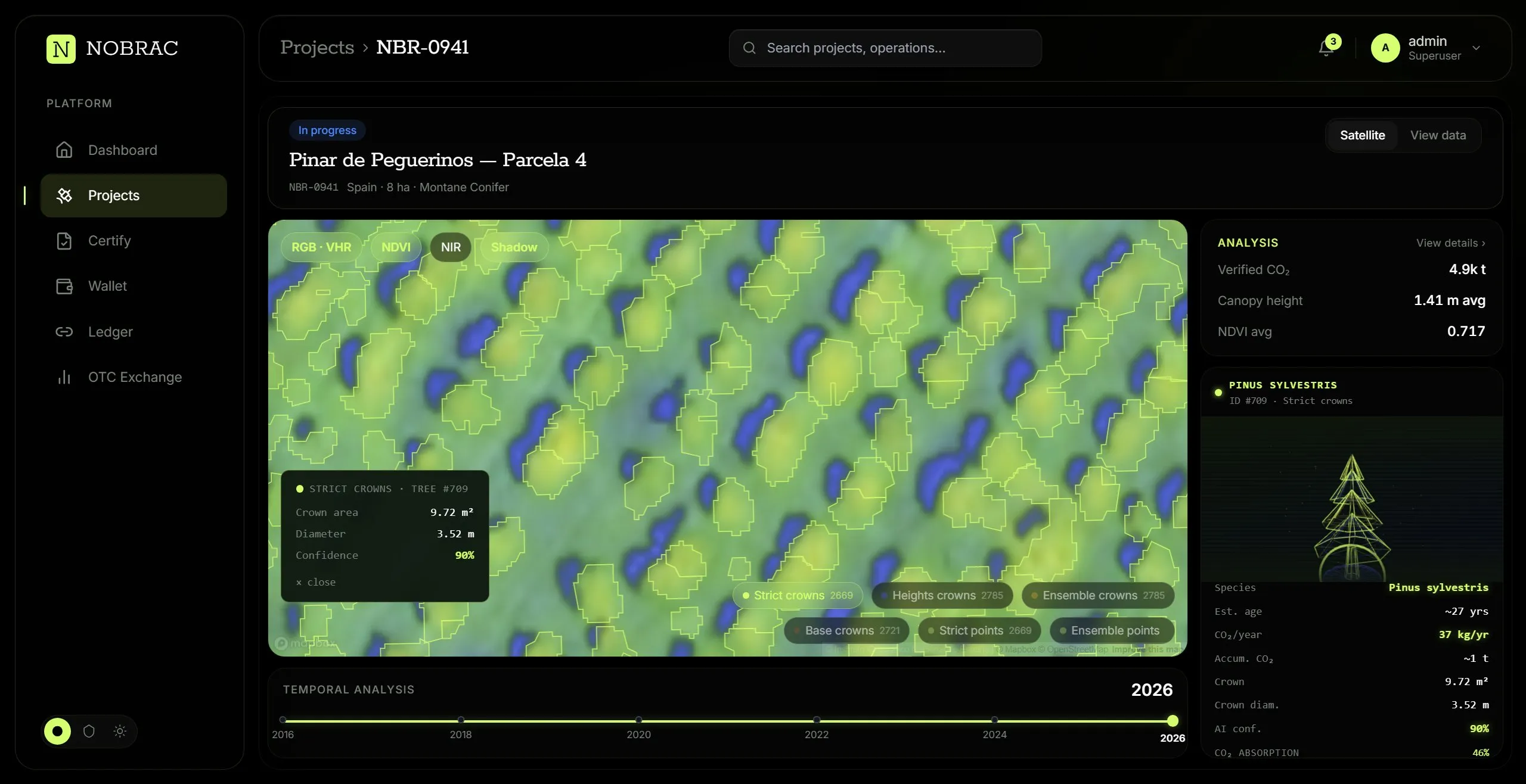
Our AI identifies and delineates individual tree crowns in VHR RGB/NIR imagery, combining trained segmentation models with spectral indices, texture gradients, and watershed-based detection. Multiple calibrated runs are cross-checked through an ensemble consensus workflow, producing per-tree quality metrics (support, consensus, crown diameter, circularity, ellipse axes). Each crown is then classified by species using multispectral signatures and morphology, currently covering Pinus, Quercus, Eucalyptus, Picea, and Populus. Per-tree biomass is estimated via species-specific allometric equations.
- 07
Data Fusion & Machine Learning
Connecting satellite observations with the ground.
We combine complementary observations rather than relying on a single sensor. For soil organic carbon, we are developing machine learning models that fuse SAR, hyperspectral, and very high resolution imagery with ground sensors, soil samples, and environmental data. These models are calibrated to local conditions to estimate soil carbon stocks and assess changes over time, supporting the monitoring of carbon sequestration under agricultural practices.
- 08
Physics-Based Plume Modelling
From methane concentrations to kilograms per hour.
Our methane pipeline combines hyperspectral concentration measurements with weather data in a physics-based atmospheric plume model. By modelling how methane disperses, we infer the location of emission sources and quantify emission rates in kilograms per hour. Observations before and after mitigation help assess abatement performance and generate evidence for emissions reporting and carbon credit verification.
- 09
Ground Validation & Uncertainty
Assessing the reliability of every estimate.
Field observations provide the reference measurements needed to calibrate and evaluate our models. Depending on the application, these include tree diameter, height and species, laboratory soil carbon measurements, ground sensor readings, and independent methane measurements. We assess uncertainty for each application and document the conditions and limitations affecting the results.
- 10
Verification & Anchoring
A system designed to enhance trust.
Over 1,000 reference plots with independent ground-truth measurements (DBH, height, species) are cross-checked against NOBRAC outputs, keeping uncertainty on total biomass below 5%. Every step, from the original imagery to the model version, parameters, and final results, is anchored to a public blockchain via Merkle-tree commitments, ensuring full third-party reproducibility.