FAQ
Frequently asked questions.
Questions and answers
NOBRAC measures carbon from space. It combines very high resolution satellite imagery, Sentinel, LiDAR, hyperspectral and radar data with proprietary AI to estimate biomass and carbon tree by tree, and connects every result to a traceable evidentiary package. Its platform covers planning and forecasting, monitoring, remote certification and compliance documentation, and, in development, insurance and derivatives and a wallet for carbon credits.
No. The market didn't need another certifier: it needed a new standard of proof. NOBRAC provides the measurement, monitoring and compliance documentation that project developers submit and that validators and certifiers review, with a clear route from each reported result to its supporting evidence.
Very high resolution imagery, down to 30 cm per pixel, is sharp enough to distinguish individual tree crowns. Our AI delineates each crown, classifies its species from multispectral signatures and morphology, and estimates its biomass with species-specific allometric equations calibrated to local conditions. LiDAR and stereoscopic imagery add tree height, and ground reference plots are used to validate the estimates.
VHR multispectral imagery at 30 cm, Sentinel-1 radar and Sentinel-2 multispectral data for frequent change detection, LiDAR (GEDI / ICESat-2) for height and forest structure, hyperspectral data for methane and soil characteristics, and SAR for observations through cloud cover. Each project uses the combination that fits the detail, frequency and cost it needs.
Species classification currently covers Pinus, Quercus, Eucalyptus, Picea and Populus, with tropical species coverage expanding.
Source hashes, model versions, parameter logs, ground-truth references and methodology citations. Reports are generated from the underlying data rather than written up separately, so what you submit always reflects what the system actually measured.
For supply chains of cocoa, coffee, palm oil, soy, beef, leather, wood and rubber, NOBRAC delivers historical and continuous monitoring per parcel, proving no deforestation has occurred on the lands supplying the goods, and produces a geo-located, time-stamped due-diligence statement per parcel that supports EUDR Articles 9 and 10.
The CRCF measures the quality of carbon removals across four criteria: quantification, additionality, permanence and sustainability. NOBRAC's methodology was built around this framework from the outset, including Article 7's sustainability criteria, which our Fractal Ecological Indicator was designed to exceed.
A composite metric that combines species diversity (Shannon-Wiener index on detected species), climate-risk exposure (drought, fire and pest pressure) and ecosystem health (canopy stress, growth anomalies and disturbance recovery) into a single auditable score, designed to satisfy CRCF Article 7.
Yes. Hyperspectral satellite data measure methane concentrations, and a physics-based plume model combines them with weather data to locate emission sources and quantify emission rates in kilograms per hour, supporting carbon credit verification and EU Methane Regulation (EU) 2024/1787 reporting processes.
In Barcelona, Spain. NOBRAC is a brand of MOAI TECH, S.L. You can reach the team at proposals@nobrac.tech.
Transparent data for meaningful change
Ready to bring trust to your carbon projects?
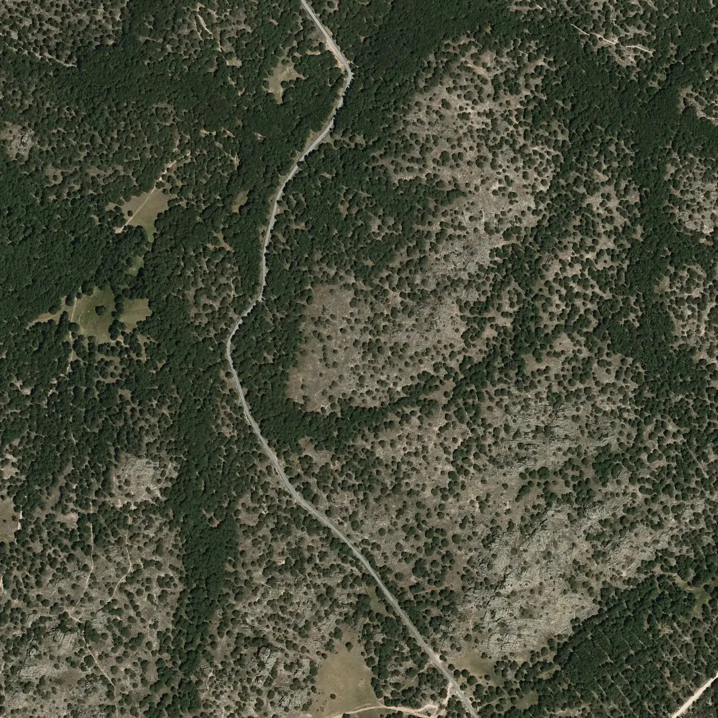
Pinar de Peguerinos · 40.6412 N 4.1992 W · PNOA © IGN