Products
From carbon planning to asset management, connected by traceable evidence.
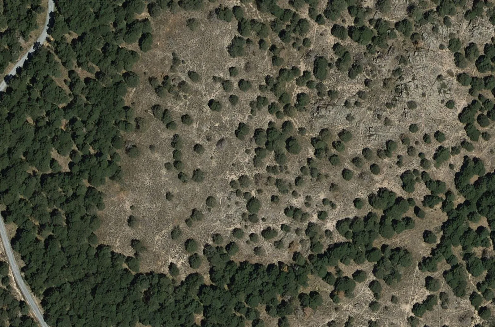
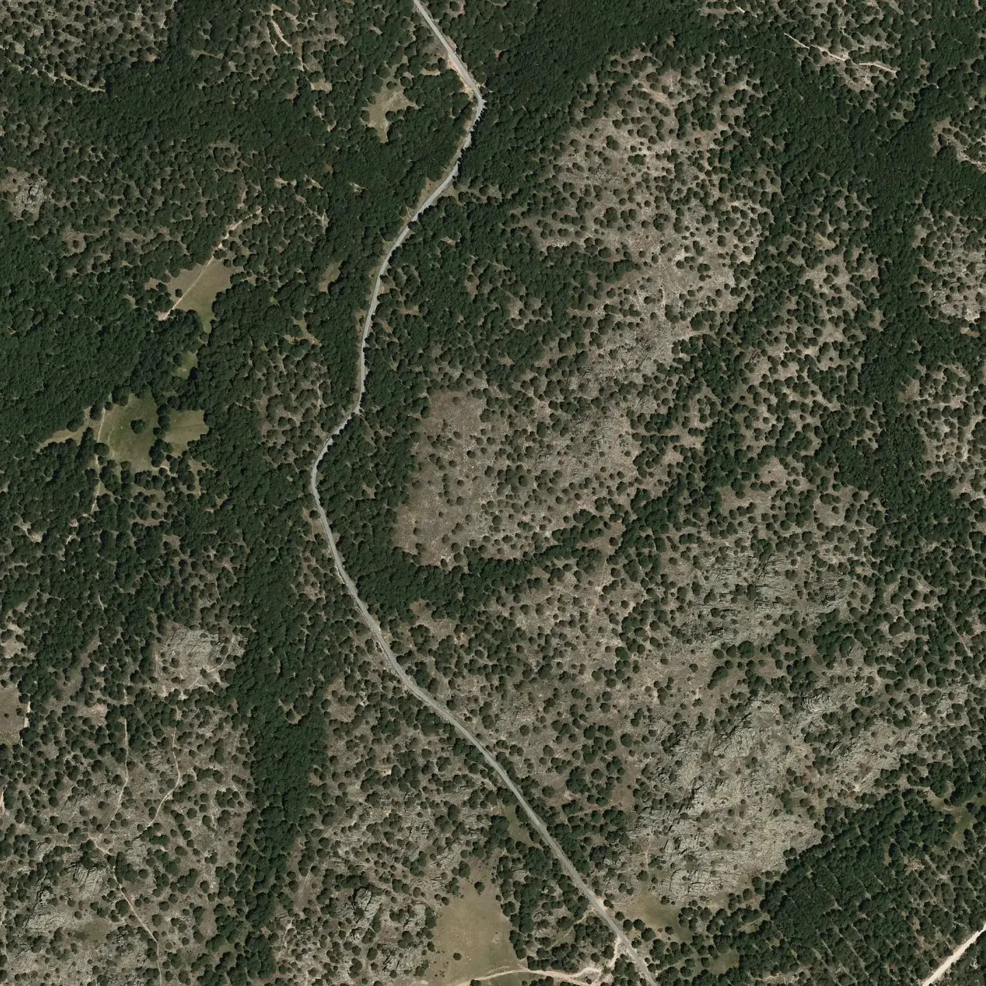
Pinar de Peguerinos, Ávila · PNOA © IGN
The lifecycle
Five products. One evidence chain.
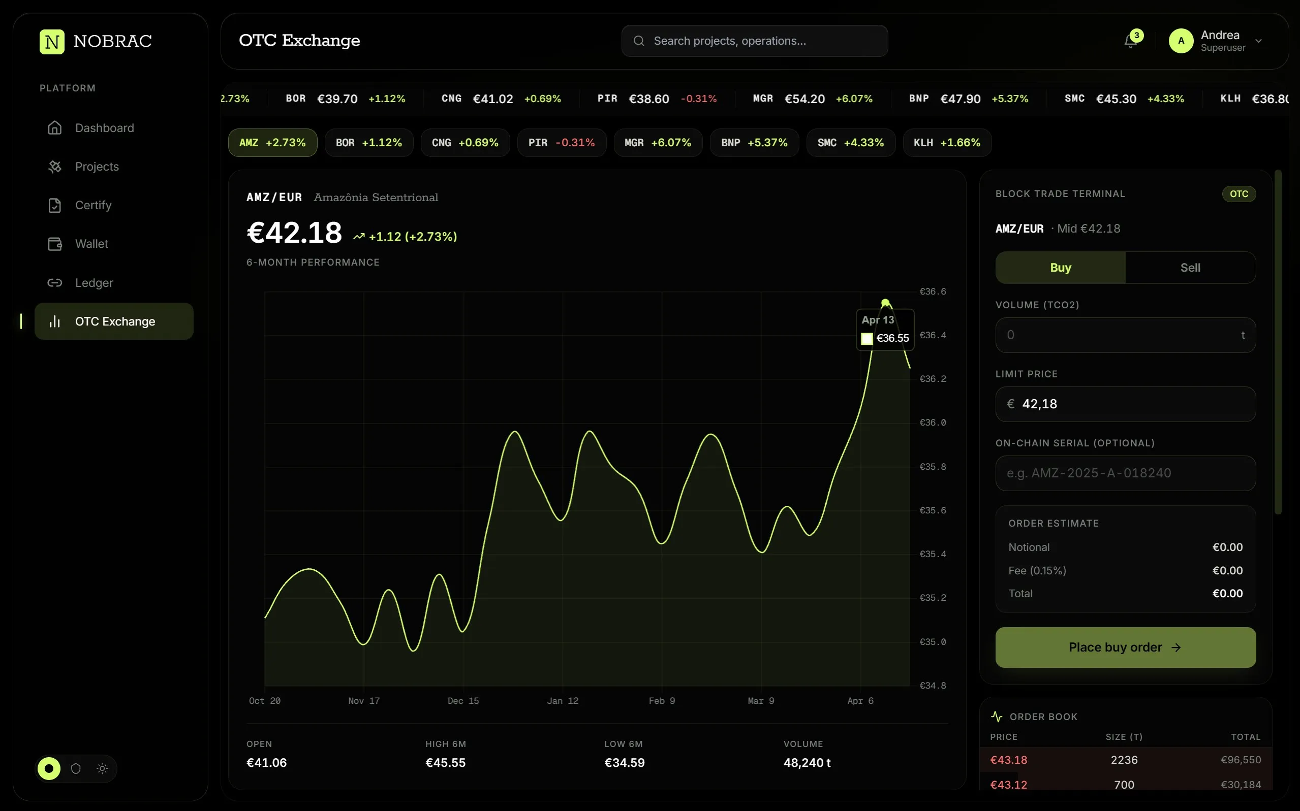
The future of Carbon, now.
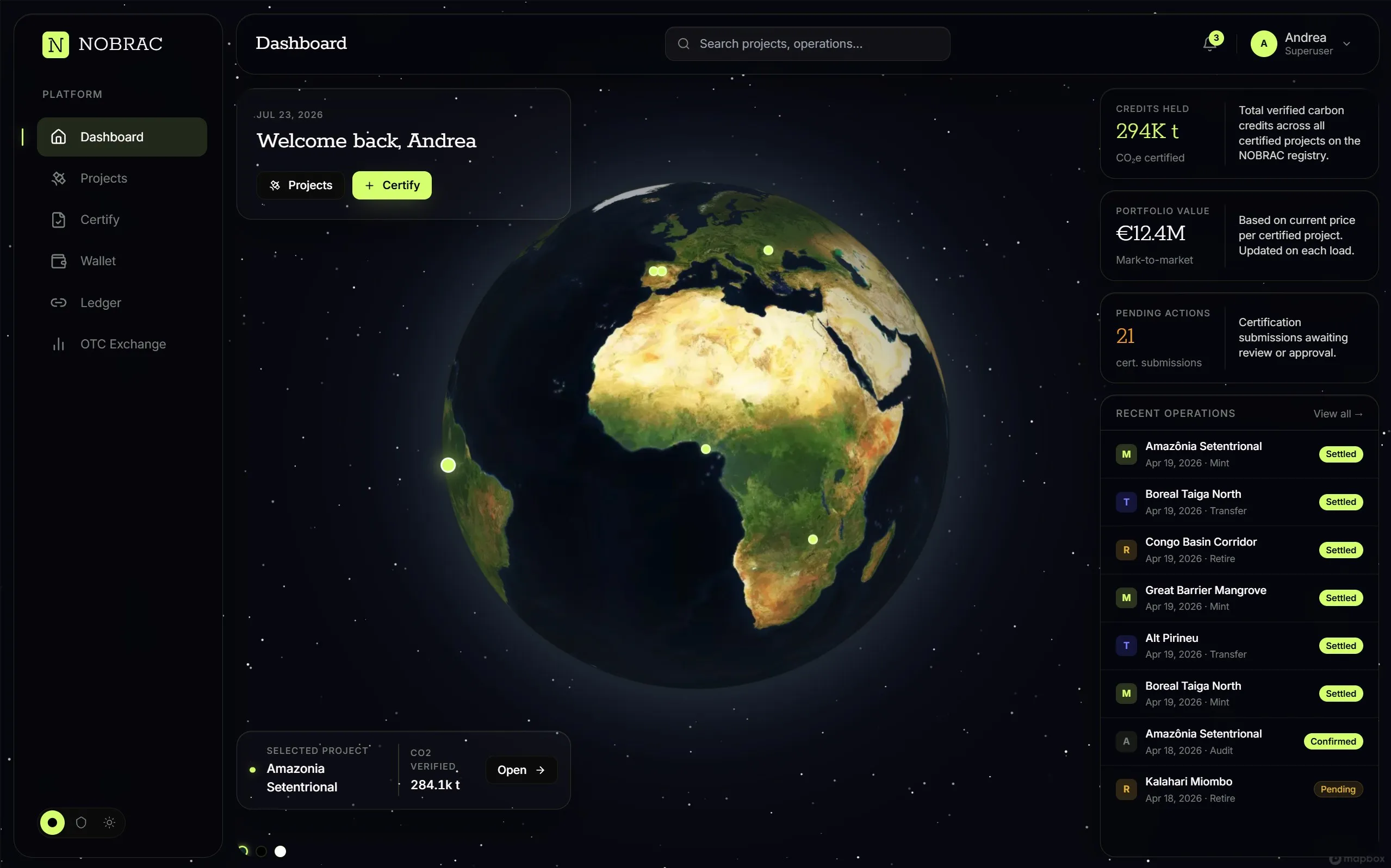
We use satellite-fed growth models calibrated to your site's specific soil, climate, and species conditions to project future biomass and carbon trajectories with precision. Compare project scenarios, assess expected carbon outcomes, and plan investment and delivery milestones. As new measurements become available, updated forecasts help you identify deviations, adjust management decisions, and communicate realistic expectations to investors and buyers. This gives you a clearer basis for deciding which projects to pursue and how to allocate resources.
Nothing goes undetected.
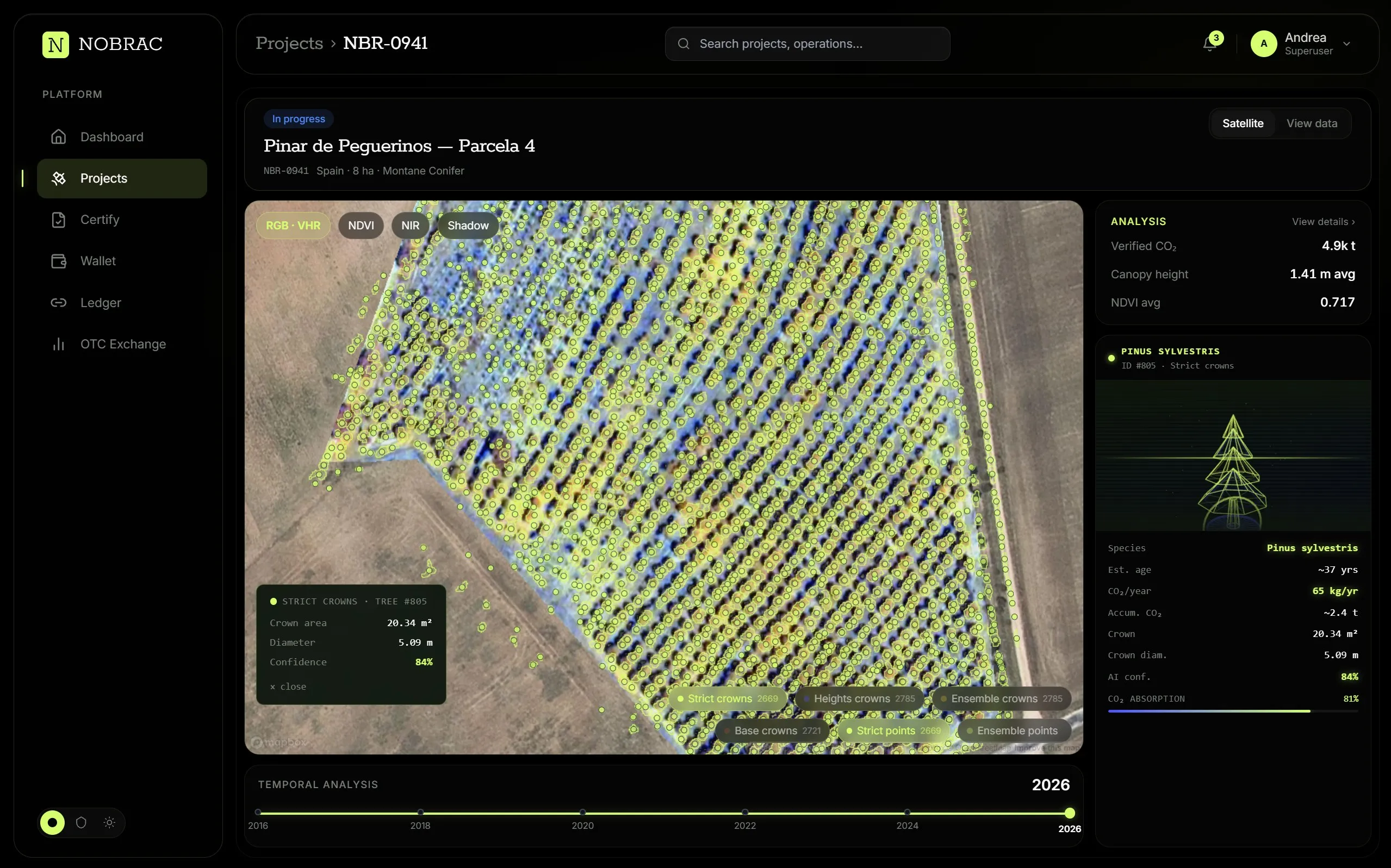
We use very high resolution multispectral imagery and Sentinel satellites together for recurring, high-frequency observation. Follow project progress, identify affected areas, and prioritise inspections and interventions. A consistent monitoring history helps you assess whether corrective actions are working and keep developers, landowners, financiers, and buyers informed. Across a portfolio, it provides a common basis for comparing performance and directing attention to the projects that need it most.
Transparency is our commitment.
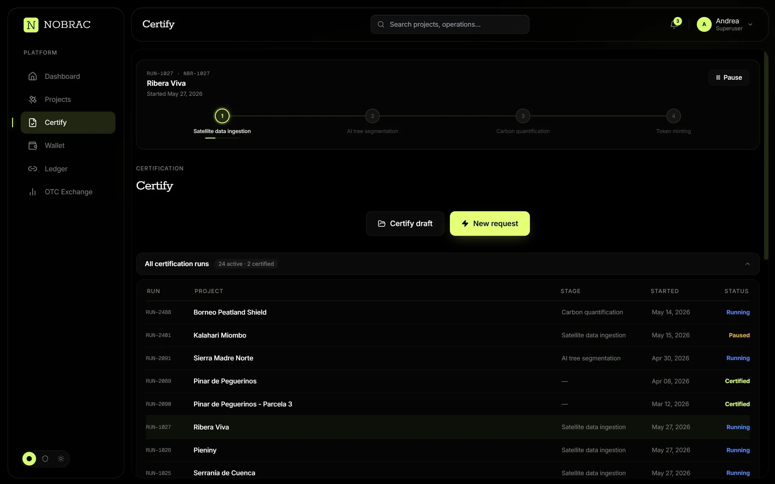
Each deliverable comes with a full evidentiary package to make all data traceable: source hashes, model versions, parameter logs, ground-truth references, and methodology citations. Reports for CRCF, EUDR, Paris Art. 6, and EU ETS Phase IV are auto-generated and connected directly to the underlying data, not written up separately, so what you submit always reflects what the system actually measured. Reduce the time spent collecting evidence, reconciling different reports, and responding to review requests. Structured documentation helps your team prepare submissions and gives validators and certifiers a clear route from each reported result to its supporting evidence. When measurements change, the connected record makes it easier to update documentation and explain what changed.
Protect value, anticipate risk.
For carbon project developers, credit owners, and investors, we are developing insurance and derivative products to protect carbon assets and manage future delivery and price risks. Our products will draw on carbon measurements, growth forecasts, and satellite monitoring, connecting coverage and contract terms to the performance of the underlying projects. Developers will be able to explore ways to protect future revenues and manage delivery commitments, while buyers and investors will be able to manage exposure to price movements and project underperformance. Our aim is to make these risks easier to assess and manage, with clear terms and project evidence supporting coverage, settlement, and claims.
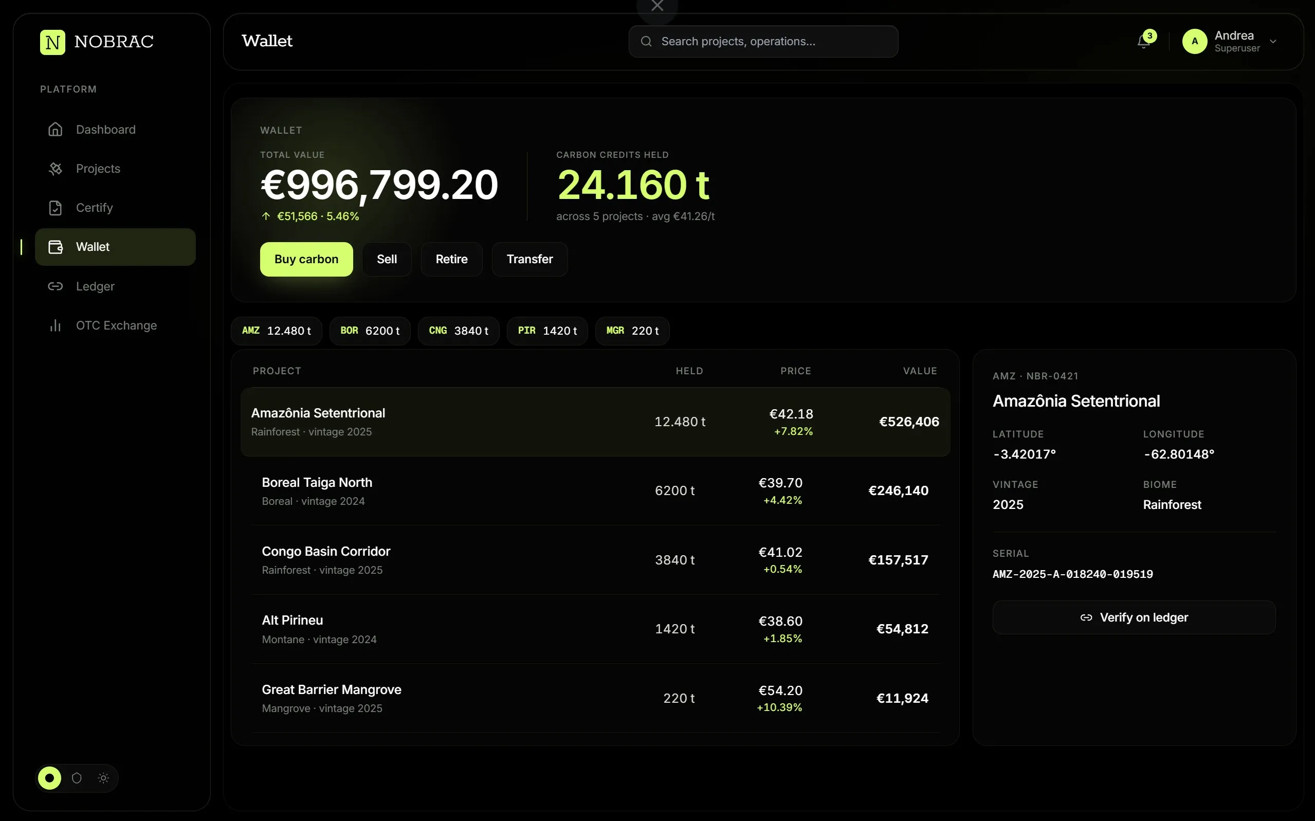
Your credits. Their story. One place.
For project developers, credit owners, traders, and buyers, we are developing a digital wallet to hold and manage carbon credits alongside the evidence behind them. Each asset is linked to its originating project, measurement records, verification documentation, and transaction history. Designed to support custody, transfers, and retirement, the wallet brings ownership and traceability into one place, helping users follow their credits throughout their lifecycle and maintain a clear record of how they are held and used. View your holdings, review the evidence behind each credit, and distinguish assets available for transfer from those already retired.
How it works
From orbit to report, one chain.
- 01
Satellite & Sensor Data
VHR, Sentinel, hyperspectral, radar, LiDAR, and ground observations, selected for the detail, frequency, and cost each project needs.
- 02
Proprietary AI & Data Fusion
Tree-level biomass analysis and soil carbon models combining satellite data with field measurements.
- 03
Physics-Based Methane Modelling
Hyperspectral observations and weather data reveal emission sources and quantify methane in kilograms per hour.
- 04
Validation & Traceability
Ground validation, documented uncertainty, and blockchain anchoring connect every result to its supporting evidence.
Benefits vs status quo
Five vendors, or one platform.
| Dimension | Traditional (5+ vendors) | NOBRAC (one platform) |
|---|---|---|
| Vendors needed | Multiple | 1 (NOBRAC end-to-end) |
| Cost per tCO₂ | $50,000–150,000 + integration costs for an average project | 80% less |
| Timeline | Months or years | Days |
| Precision | Limited sampling or low resolution imagery | Tree by tree, <5% target, consistent |
| Traceability | PDFs across multiple vendors, inconsistent documentation | Immutable standardized traceability end-to-end in one platform |
| Monitoring | Sporadic visits | Continuous (recurring satellite) |
Transparent data for meaningful change
Ready to bring trust to your carbon projects?
Pinar de Peguerinos · 40.6412 N 4.1992 W · PNOA © IGN