Markets we serve
Five markets, one chain of evidence.
Carbon markets span diverse sectors, each with unique measurement and verification needs. Reliable data helps turn climate action into measurable impact across forests, agriculture and methane reduction.
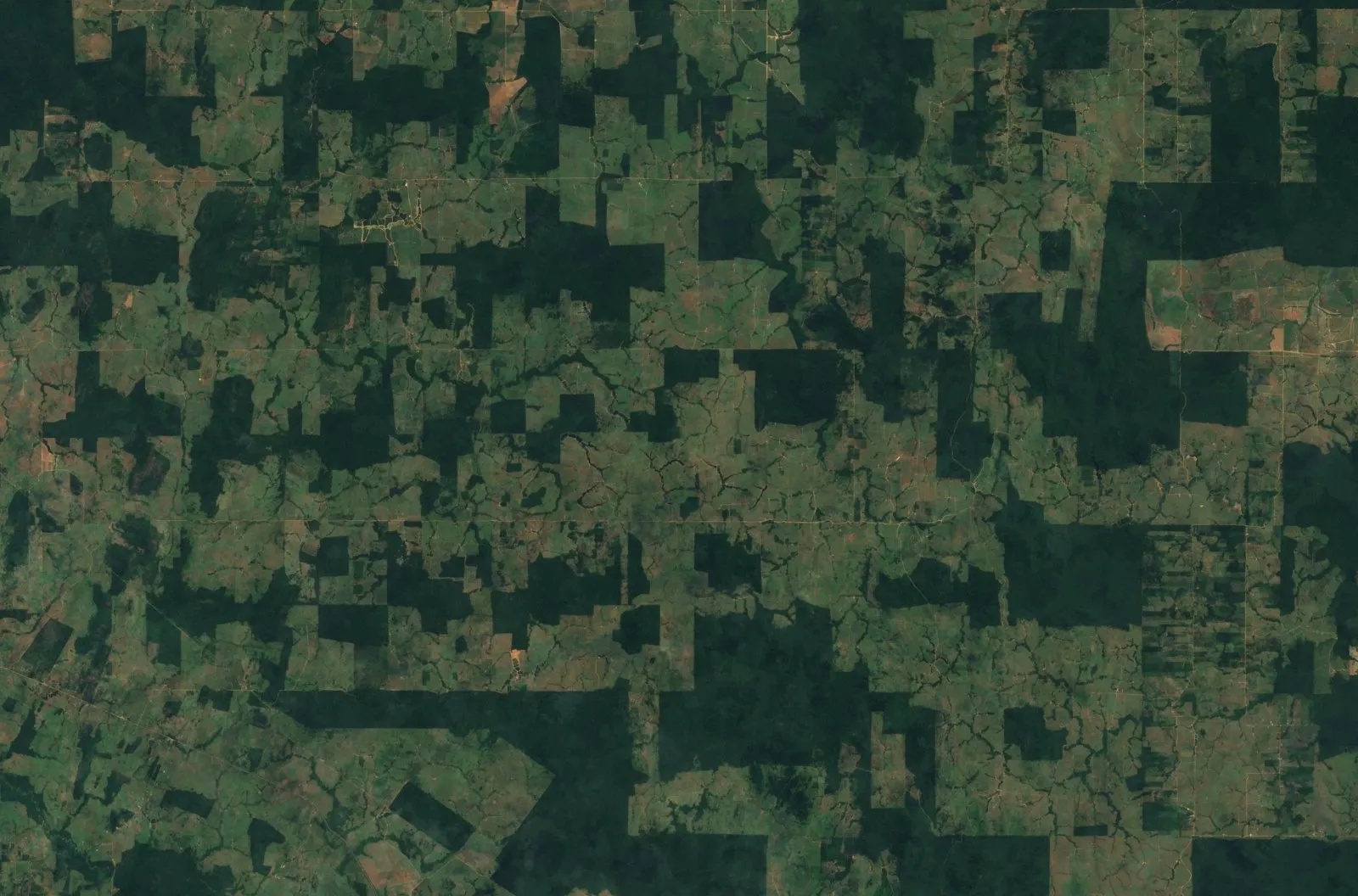
Rondônia, Brazil · Sentinel-2 cloudless by EOX
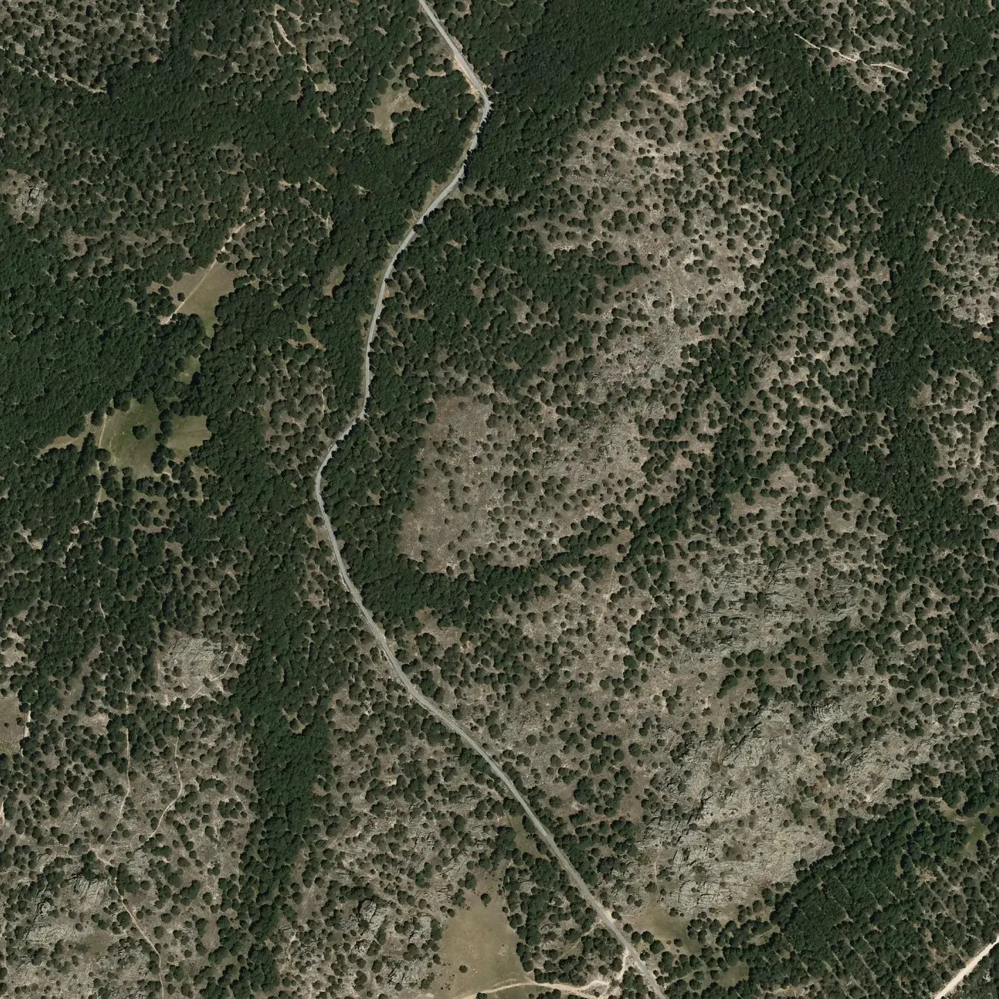
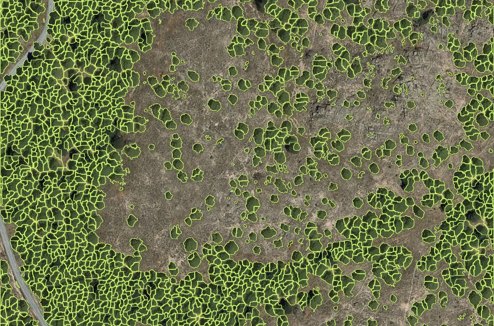 Pinar de Peguerinos, ÁvilaPNOA 25 cm · crowns by NOBRACMarket 01Afforestation & Reforestation
- Rondônia, BrazilSentinel-2Market 02Deforestation-Free Supply Chains (EUDR)
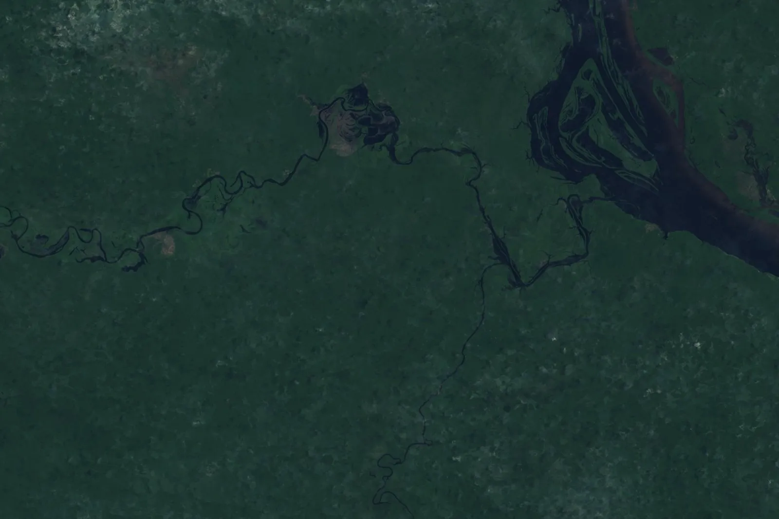 Jaú National Park, AmazonasSentinel-2Market 03Forest Conservation & Management
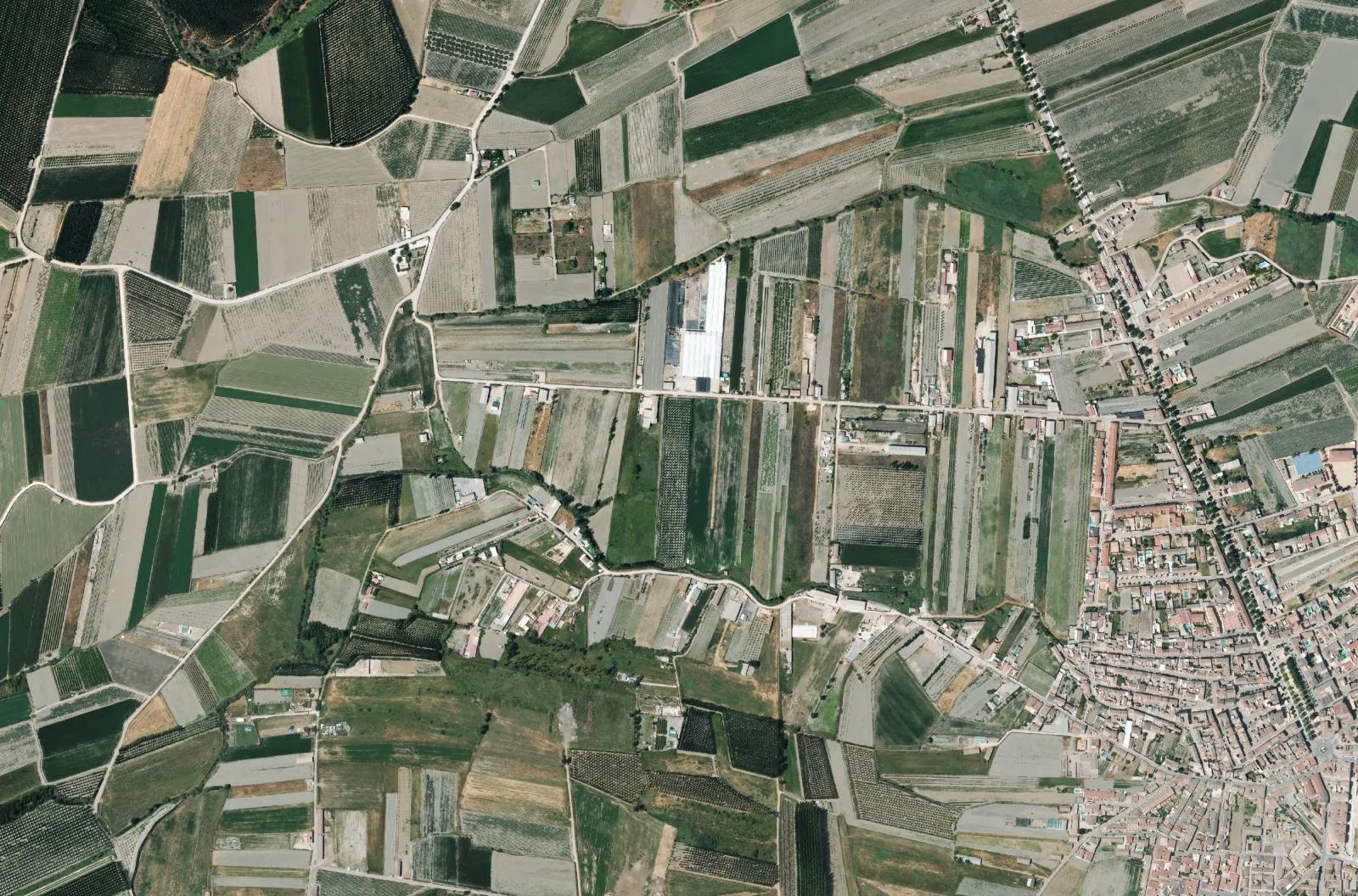 Vega de Granada, SpainPNOAMarket 04AgricultureIn development
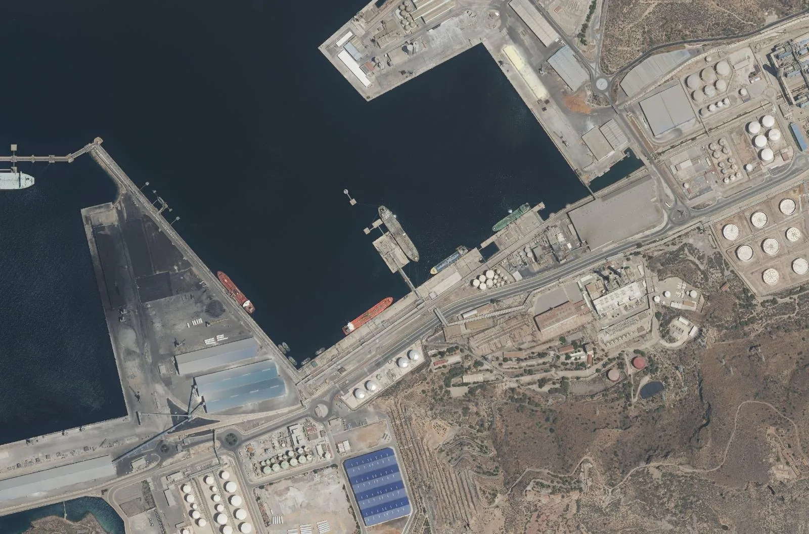 Escombreras, CartagenaPNOAMarket 05Methane Abatement
Market 01
Afforestation & Reforestation
For project developers planting new forests at scale, and the validators, financiers, certification authorities, and credit buyers behind them.
We provide end-to-end verification from planning to planting to credit issuance. This means individual-tree monitoring, biomass and carbon estimates, continuous disturbance tracking, and CRCF-aligned reporting.
Market 02
Deforestation-Free Supply Chains (EUDR)
For supply-chain actors in cocoa, coffee, palm oil, soy, beef, leather, wood, and rubber subject to the EU Deforestation Regulation, and the certifiers and customs authorities verifying their claims.
We deliver historical and continuous monitoring per parcel, proving no deforestation has occurred on the lands supplying your goods. An integrated documentation flow runs from satellite imagery to customs-ready due diligence statements.
The resultA geo-located, time-stamped, blockchain-anchored due-diligence statement per parcel, compliant with EUDR Articles 9 and 10.
Market 03
Forest Conservation & Management
For forest owners, conservation projects, and sovereign carbon programs generating credits from protecting standing forests, and the validators, certification authorities, and credit buyers behind them.
We combine satellite history with regionally calibrated deforestation-probability models, validated against ground truth, to produce auditable counterfactuals connected to continuous forward monitoring.
The resultA peer-reviewed counterfactual baseline, a continuous verification report, and full standards-aligned crediting compliance documentation.
Market 04
Agriculture
In development
For farmers, agricultural businesses, soil carbon project developers, and the validators and financiers supporting them.
We are developing satellite-based methods to estimate soil organic carbon and track changes associated with agricultural practices. By combining technology-fusion satellite observations with locally calibrated models and soil measurements, we help assess carbon sequestration over time. We also help track how agricultural practices affect biodiversity and ecosystem health, combining remote observations with field measurements where needed.
The resultTraceable soil carbon estimates to support project monitoring, environmental reporting, and verification.
Market 05
Methane Abatement
For energy operators, waste managers, methane reduction project developers, and the validators and carbon credit buyers behind them.
We use hyperspectral satellite data to measure methane concentrations. A physics-based plume model combines these observations with weather data to locate emission sources and quantify emission rates in kilograms per hour.
The resultTraceable evidence to assess reductions and support carbon credit verification under applicable methodologies, while complementing measurement, reporting, and verification processes under the EU Methane Regulation for energy-sector operators.
Transparent data for meaningful change
Ready to bring trust to your carbon projects?
Pinar de Peguerinos · 40.6412 N 4.1992 W · PNOA © IGN